
David Thompson’s Map of of the Oregon Territory
Although the career and travels of David Thompson have been well documented, no comprehensive bibliography has ever been assembled of David Thompson’s cartographic work. One of the least known manuscript maps that David Thompson created was that of the Oregon Territory. Created between 1818 and 1826, it highlighted the area contested by the United States and Great Britain. It was provided to the British Foreign Office for their use during negotiations with the United States. Unfortunately, it was ignored because the Foreign Office were already in possession of maps by Aaron and John Arrowsmith. This is a reproduction of that map which is produced in a Mercator projection and measures approximately 2.5 x 2 meters (98 x 75 inches).
A reduced version of this map has been created with a dimension of 71 x 94 cm (28 x 37 inches) at 300dpi that is suitable for study and can be acquired HERE.
See Image Gallery below for image quality example.
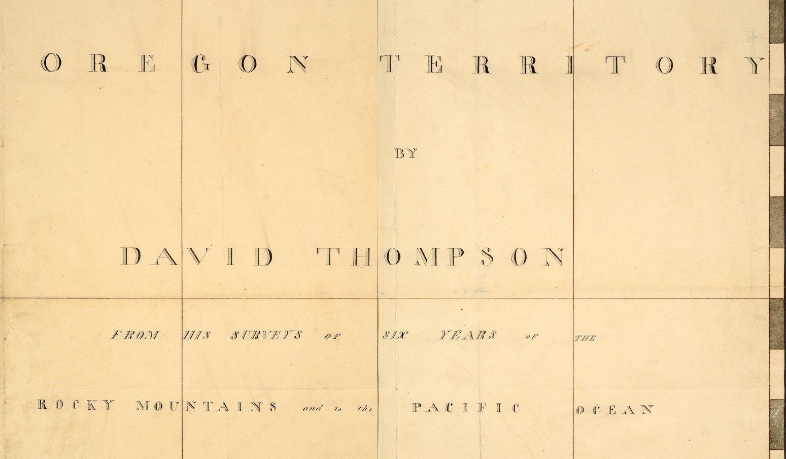
Oregon Territory cartouche
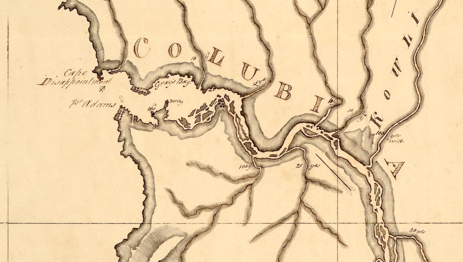
Mouth of the Columbia River
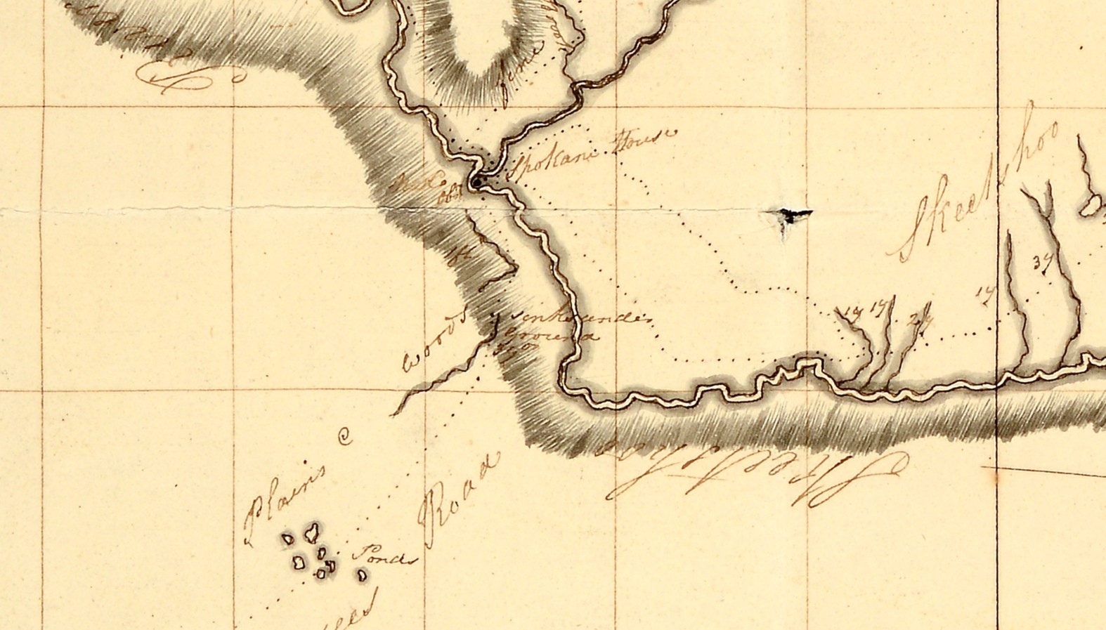
Spokane House area