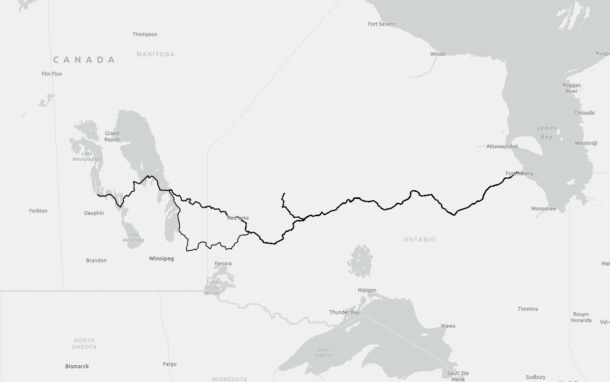
The Travels of John Best 1773-1803
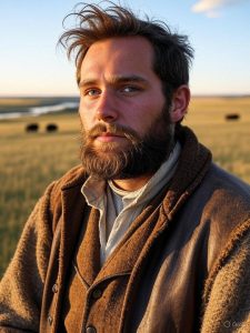
An artistic rendition of John Best
John Best was a long-serving officer of the Hudson’s Bay Company (HBC) whose thirty-year career (1773–1803) spanned the Company’s gradual shift from coastal factories to inland expansion. Though not among the most famous of HBC servants, his record illustrates the persistence, adaptability, and endurance required of men who kept the fur trade alive in the interior. Best entered HBC service at a time when the Company was beginning to respond to mounting competition from the Montréal-based North West Company and other Canadian traders. His early years were likely spent at the Bay, at York Factory or Churchill Factory, learning the demanding work of trade, transport, and survival in the harsh subarctic environment.
By the late 1770s he was trusted with inland duties, travelling by canoe and York boat into the Saskatchewan and Manitoba lake country as the Company pressed its presence beyond Hudson Bay itself. During the 1780s and 1790s, Best is recorded in the interior, overseeing or supporting trading houses along the waterways that linked Lake Winnipeg, Lake Manitoba, and the upper Saskatchewan. The inland posts were often precarious, dependent on Indigenous goodwill, successful hunting for provisions, and fragile supply lines back to the Bay.
Best continued in Company service into the turn of the century. By then, he was a seasoned veteran, one of the cadres of inland masters who ensured the trade continued despite rivalry with the North West Company and the hardships of transport. His career is last noted in 1803, after thirty years of continuous service. John Best’s life was typical of many HBC men: long years of anonymity in the wilderness, trusted with responsibilities but rarely recorded in detail. His career touched nearly every aspect of the inland expansion—canoe brigades, small post commands, and the Company’s ongoing contest with Canadian rivals.
John Best’s travels were researched from unpublished journal and other records. From the completed research, spatial data was created and is organized into the fields Year, Route, Leg, Departed, Arrived, Origin, and Destination. The data is in ESRI shapefile format and can be acquired HERE.
A Map of John Best’s Travels 1773-1803