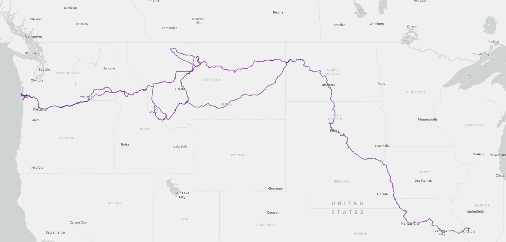
The Travels and Explorations of Captain Meriwether Lewis and Second Lieutenant William Clark 1804-1806
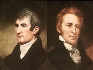
Lewis and Clark
President Thomas Jefferson commissioned the expedition shortly after the Louisiana Purchase in 1803 to explore and to map the new territory, to find a practical route across the western half of the continent, and to establish an American presence in this territory. The campaign’s secondary objectives were scientific and economic: to study the area’s plants, animal life, and geography, and to establish trade with local indigenous people. The expedition returned to St. Louis to report its findings to Jefferson, with maps, sketches, and journals in hand.
Lewis and Clark’s travels were researched from their published journal and other records. From the completed research, spatial data was created and is organized into the fields Year, Route, Leg, Departed, Arrived, Origin, and Destination. The data is in ESRI shapefile format and can be acquiredd HERE.
A Map of Lewis and Clark’s Travels and Explorations 1804-1806