
David Thompson’s Map of Lake Superior
The survey effort of both the Americans and British began in earnest in 1817 and by 1821 and progressed as far as Sault Ste Marie. On 28 June 1822, Thompson began his survey of Lake Superior and completed it in the morning of 27 July. Maps were created of the entire survey between Cornwall and Lake Ontario over a period of 10 years including individual maps of the Lake Superior survey. Thompson’s proficiency at his chosen trade was exceptional given the testimony of his contemporaries. When David Adams resigned his office as the principal American Surveyor in 1819, he informed the American Commission that until such time a suitable replacement could be found, they could rely on “… the Latitudes and Longitudes resulting from the observations of David Thompson… a gentleman whom from his… abilities in his profession, I shall hold in the highest estimation.” This is a remarkable statement, given that the American survey effort was a military operation, and Adams effectively advised his superiors to rely on their former adversary to create official American survey information.
A reduced version of this map has been created with a dimension of 80.5 x 45 cm (31.75 x 17.75 inches) at 300dpi that is suitable for study and can be acquired HERE.
See Image Gallery below for image quality example.
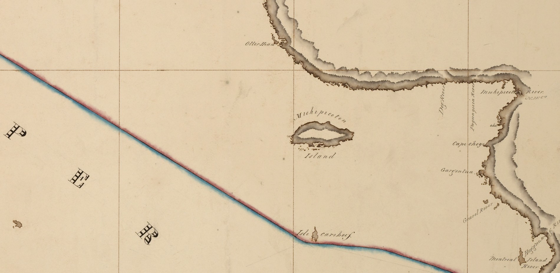
Michipicoten Island
![Isle St. Michael [Madeline Island] area](https://northwestvoyageur.com/wp-content/uploads/2025/11/SUP02.jpg)
Isle St. Michael [Madeline Island] area
![Falls of St. Maries [Sault Ste. Marie] area](https://northwestvoyageur.com/wp-content/uploads/2025/11/SUP01.jpg)
Falls of St. Maries [Sault Ste. Marie] area