The Travels, Explorations and Surveys of Peter Fidler 1789-1821
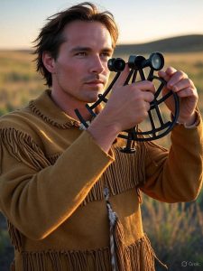
An artistic rendition of Peter Fidler
Peter Fidler (1769 –1822) was a British-Canadian surveyor, map-maker, fur trader and explorer who had a long career in the employ of the Hudson’s Bay Company (HBC) in what later became Canada. He was born in Bolsover, Derbyshire, England and died at Fort Dauphin in present-day Manitoba. In 1788 he signed on as a laborer with the HBC, beginning his career at York Factory on Hudson Bay. In 1790 he began his training as a surveyor with Philip Turnor, the company’s chief surveyor. He married Mary Mackagonne at York Factory in 1795 , a Cree woman, and for the next 17 years they traveled extensively and his exploits were many; together they had 14 children. Peter died in 1822 at Dauphin House, and Mary died in 1826 in the Red River settlement.
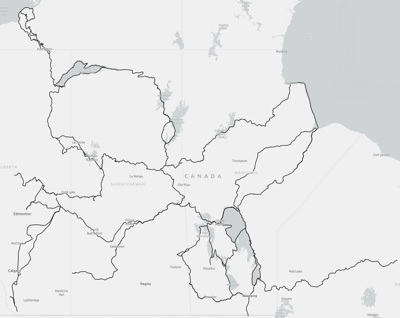
Like Thompson, the distance covered by Fidler can be measured. Fidler’s travels were researched from his published journal and other records. From the completed research, spatial data was created and is organized into the fields Year, Route, Leg, Departed, Arrived, Origin, and Destination. The results of of measuring the linear data, show that the distances travelled by Peter Fidler between 1789 and 1822 equate to 80,838 km. Fidler was a remarkable surveyor and unfortunately has not received the recognition he has deserved.
The data encompassingfidler’s travels is in ESRI shapefile format and can be acquiredd HERE.
A Map of the Travel and Explorations of Peter Fidler 1789-1821