The Travels and Explorations of Philip Turnor 1778-1792
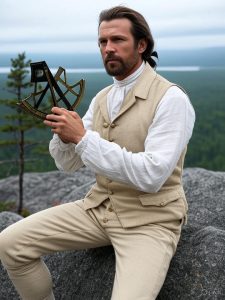
Artistic rendition of Philip Turnor
Philip Turnor was the first servant of the Hudson’s Bay Company employed specifically to survey and map its inland trading area. He amassed, in the course of his employment from 1778 to 1792, a considerable part of the spatial information on the northern interior of North America. That information was eventually published within Aaron Arrowsmith’s first map of northern North America in 1795.
In 1789-90 he tutored surveying to David Thompson and Peter Fidler, who both would continue surveying the geography both men traveled over during their time in northwestern North America. During his last assignment, Turnor established the position of Lake Athabasca and attempted to seek a route to the vast Athabasca drainage from the Saskatchewan River. At Cumberland House in 1790, he met Alexander Mackenzie who had just returned from the Arctic Ocean. After their conversations, it appears that Turnor had persuaded Mackenzie to seek instruction in navigation before continuing his explorations. His enthusiastic evaluation of the great fur trading potential of the Athabasca region led to the establishment of the first Hudson’s Bay Company posts there. He returned to England in 1792, never to see North America again.
Detailed research was conducted on his travels and whereabouts between 1778 and 1792. Philip Turnor’s travels were researched from published journal and other records. From the completed research, spatial data was created and is organized into the fields Year, Route, Leg, Departed, Arrived, Origin, and Destination. The data is in ESRI shapefile format and can be acquiredd HERE.
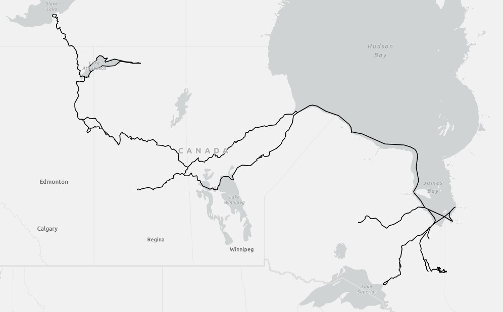
A Map of the Travels and Explorations of Philip Turnor 1778-1792