
Description
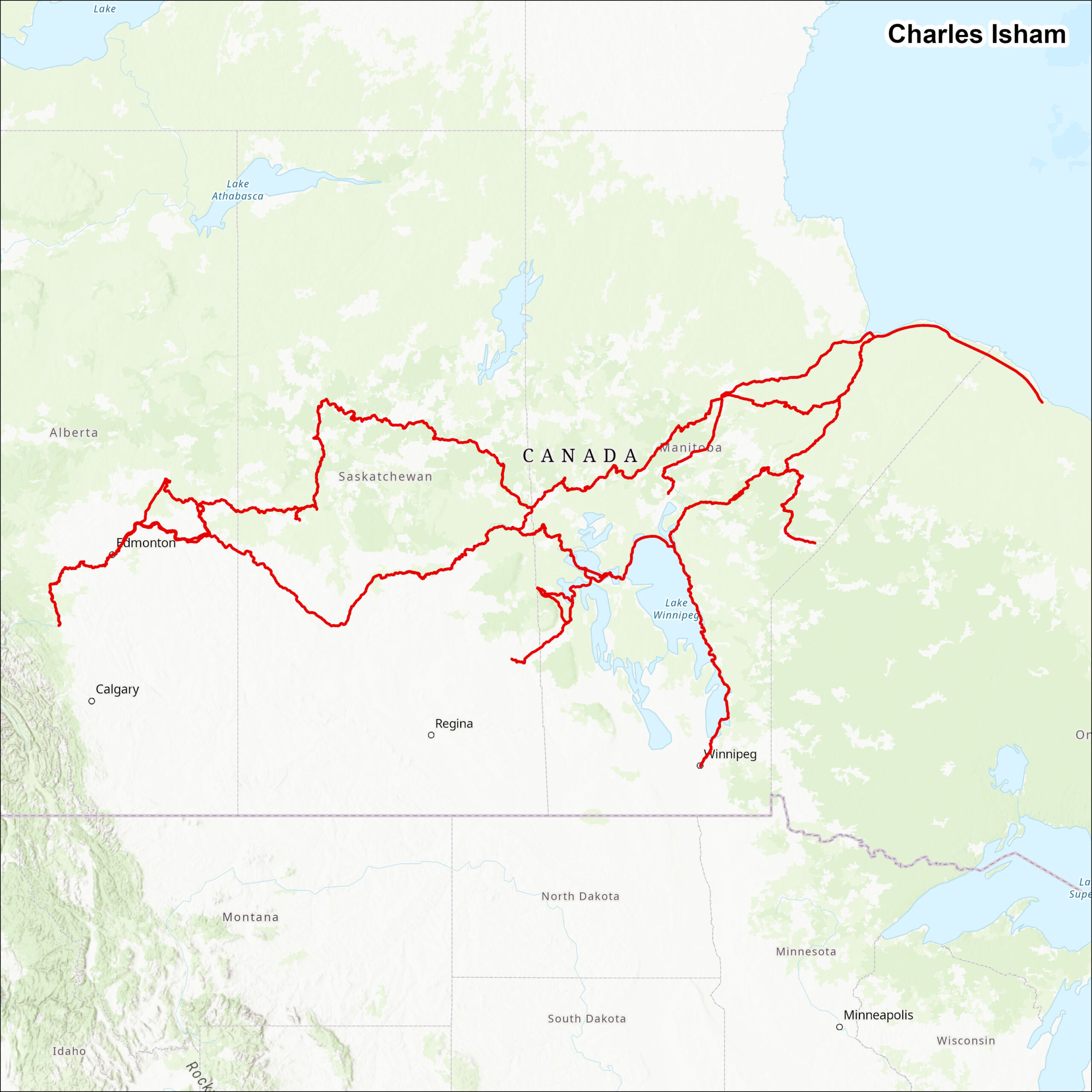
Detailed research of Charles Isham’s travels and whereabouts between 1774 and 1814. The results of which were compiled into a linear spatial data set. The linear dataset contains the attributes Year, Route, Leg, Departed, Arrived, Origin, and Destination.

